Mapping (my) UO
2024
This animation brings to life a few of the maps students and community members created for Mapping (my) UO, a passion project I started in the spring of 2024.
Learn a bit about Mapping (my) UO—the inspiration, the process of designing and facilitating it so far, and questions I still have—in the brief write-up about the project below.
(Or keep scrolling to get straight to more cool maps!)
Inspired by work and classes as a Journalism and Spatial Data Science undergraduate, I’d spent the past few years pondering, reading about, theorizing on, and analyzing how we develop a sense of place, from the paths we walk to the places we know and people we interact with there.
I began Mapping (my) UO as a collective participatory mapping project of the UO campus inspired by a hidden gem I found on the internet: “Map Your Memories”. This was a project launched in 2009 in Manhattan by Becky Cooper, then an undergrad at Harvard, in which she handed out blank maps for people to fill in based on their own experiences. The creativity and unique perspectives of each “map” evidenced not only how people used spaces, but also how they remembered and felt about them.
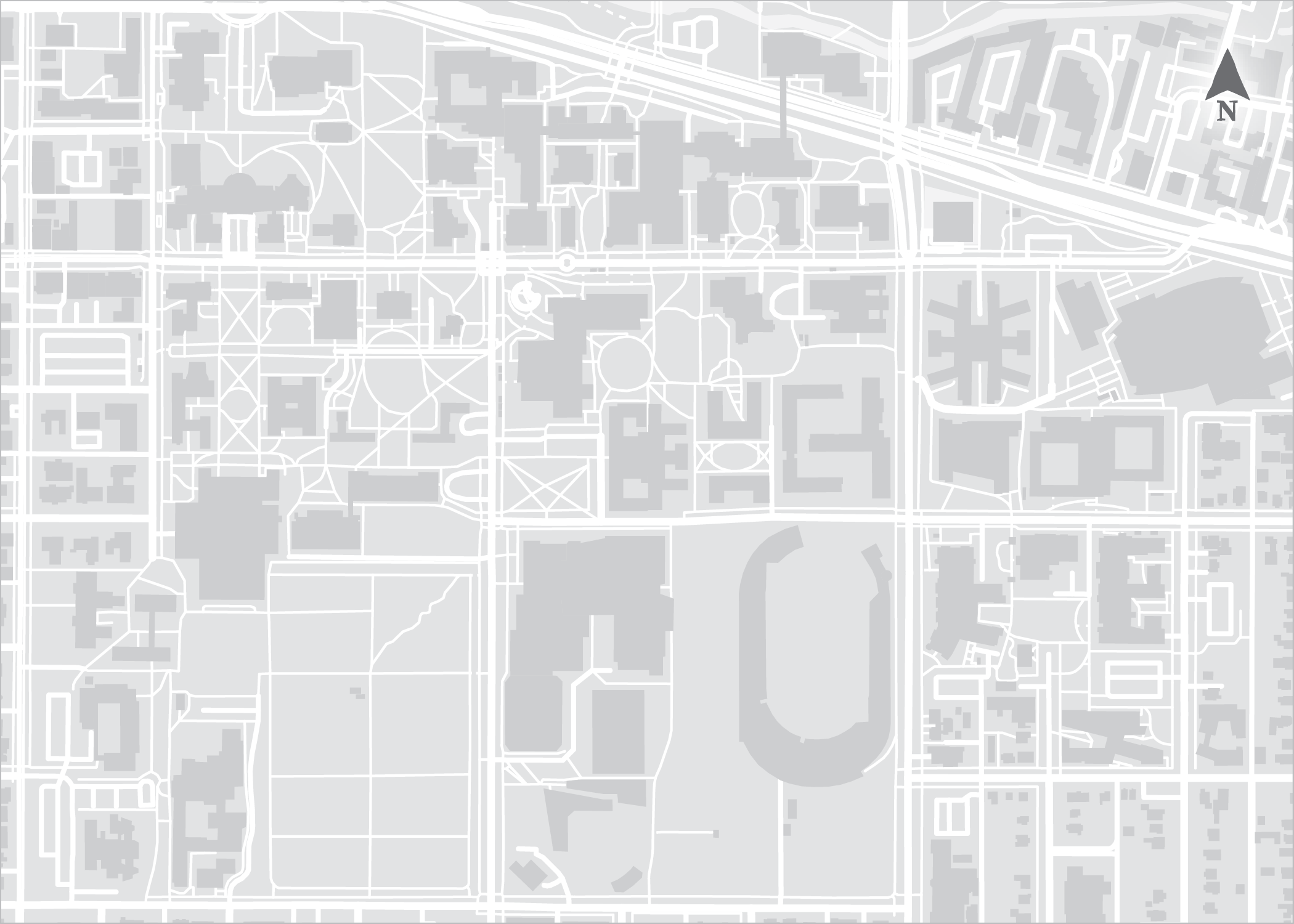
Inspired by Cooper’s participatory mapping, I became curious about how the University of Oregon community experiences campus. After iterations of designs, I created a 5x7 card with a simple basemap of the campus on one side and, on the other, a brief prompt asking people to create their own map – whatever that means to them. As I walked about my day spring term and visited various places on campus, I would bring these cards and invite people to make their own map.
Using HTML, JavaScript, & CSS I created an online exhibit to view the maps. I wanted to facilitate people continuing to map their UO after my graduation, so I developed a drawing application using various JS libraries. The web app is essentially an online version of Paint with the map as a background. Upon submission, these maps get added to the dynamic storage system that runs on Google’s Firebase development platform.
This project was not only rewarding as an excuse to share a passion for maps with strangers, but the impact it seemed to have, as participants discussed how they appreciated the exercise as a moment to pause and reflect on their memories and feelings about this place, inspired me. People would also ask for cards to distribute to coworkers, neighbors, and friends. The engagement led to creating a postcard version for folks to send a view of campus to friends and family.
While the contributions are intriguing to look at individually, I am also interested in finding patterns both within and between the collected maps. With the cards digitized, the possibilities for spatial and thematic analysis are intriguing. What places are important enough to people to mark? What sentiments are shared? What routes do most people depict? What signs and abstractions do people use to communicate these intangible layers of meaning and memory atop a traditional map?
Mapping (my) UO is an exploration into not only how we conceptualize places and our assumptions about maps, but I believe it’s also a means of connecting with community and fostering a connection with place. What is meaningful to us about an area we’re familiar with or move through frequently? What spaces have we yet to explore? What paths have we yet to take? Who have we yet to meet, and what stories might they have to share? What map do we want to create?
Visit the interactive site showcasing the gallery of maps (and a drawing app to make your own!) by clicking the image below.
Flip through (and maybe read a bit from…) the essay pages in which I reflect on place and the findings of Mapping (my) UO (as of November 2024) below. The essay is published in an anthology for the InfoGraphics Lab at the University of Oregon.
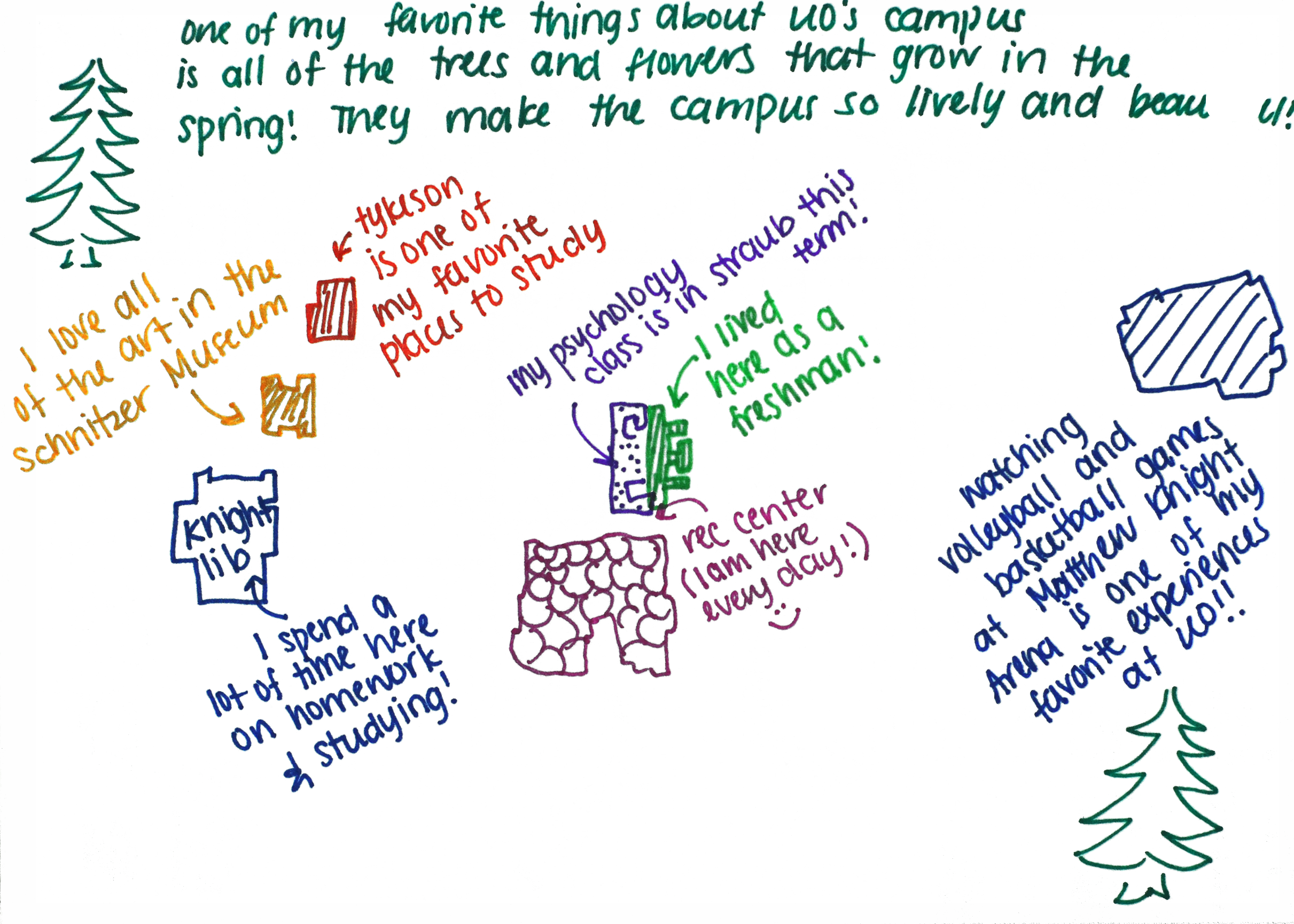
Take a peak at a few of the memories and meanings people share by browsing through the creations below. By removing the basemap, the stories rise to the fore.
And lastly, here’s the card that starts this process: a simplified map without labels or color, ready to be imbued with its creator’s own vision. You may not be familiar with the University of Oregon—but on a similar style map of your own familiar location, what places would you mark? What map would you create?
“In the past 4 years I had the chance to know UO as my 2nd home and gotten to know all the facilities. I am so sad that I will be leaving in a year, but my geographical knowledge is forever! <3 SCO DUCKS! ”
— Participant, Map 145


